We are now about 2 and a half weeks into our summer 2017 voyage.
We left Wexford on June 1st, with Tucker on board and looked forward to our first night out at anchor in a creek just north of Beaufort. There was a small setback when we discovered that our chosen creek was silted up and no longer accessible, so after a slightly frantic search of our two guides, Waterway Guide and Skipper Bob’s, we chose an alternative slightly farther north and the rest of the evening was uneventful. The next day we travelled through Charleston, towards our planned anchorage north of the city, and “enjoyed” a two hour unplanned excursion up one of the rivers when the helmsman failed to notice the location of the magenta line on the chart.

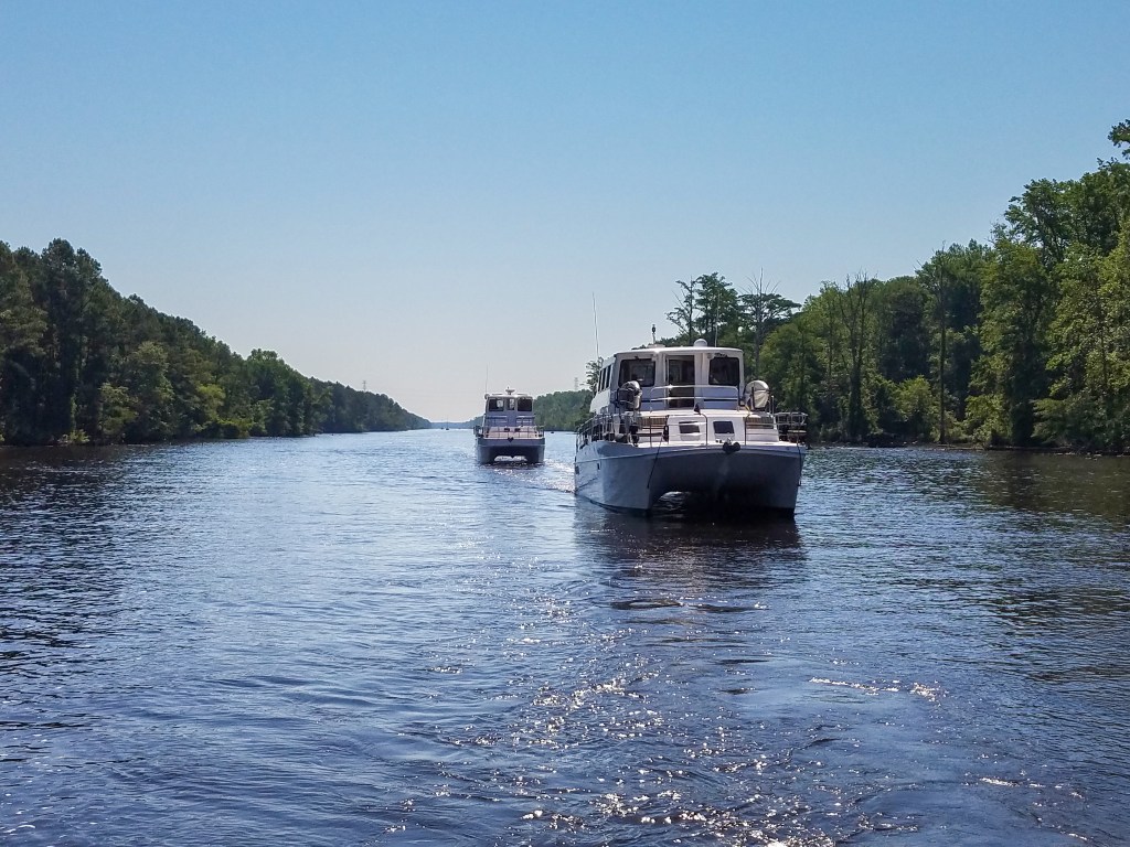
What is this magenta line? It is the centre-line on the chart of the Intracoastal Waterway, and is a big help in staying on course. The boat has an electronic chartplotter, so we don’t use the big paper charts. We use autopilot, but the helm chair is never empty and it is important to remember that the actual markers in the channel are always to be followed when they disagree with the magenta line!

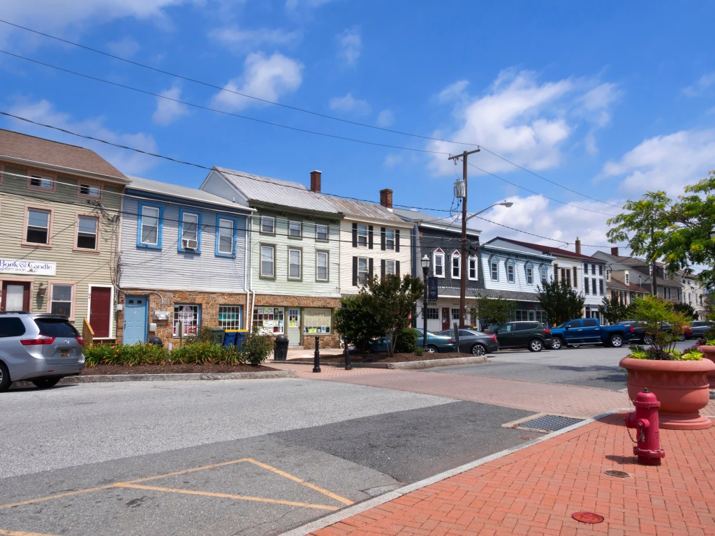
After Charleston we carried on north, staying with our planned itinerary and stops until we got to our first weather delay. High winds and thunderstorms were forecast, so we extended our stay in Southport, North Carolina to 3 nights. The thunderstorms never materialized, but it was very windy the first evening and I would not have wanted to anchor in that wind.

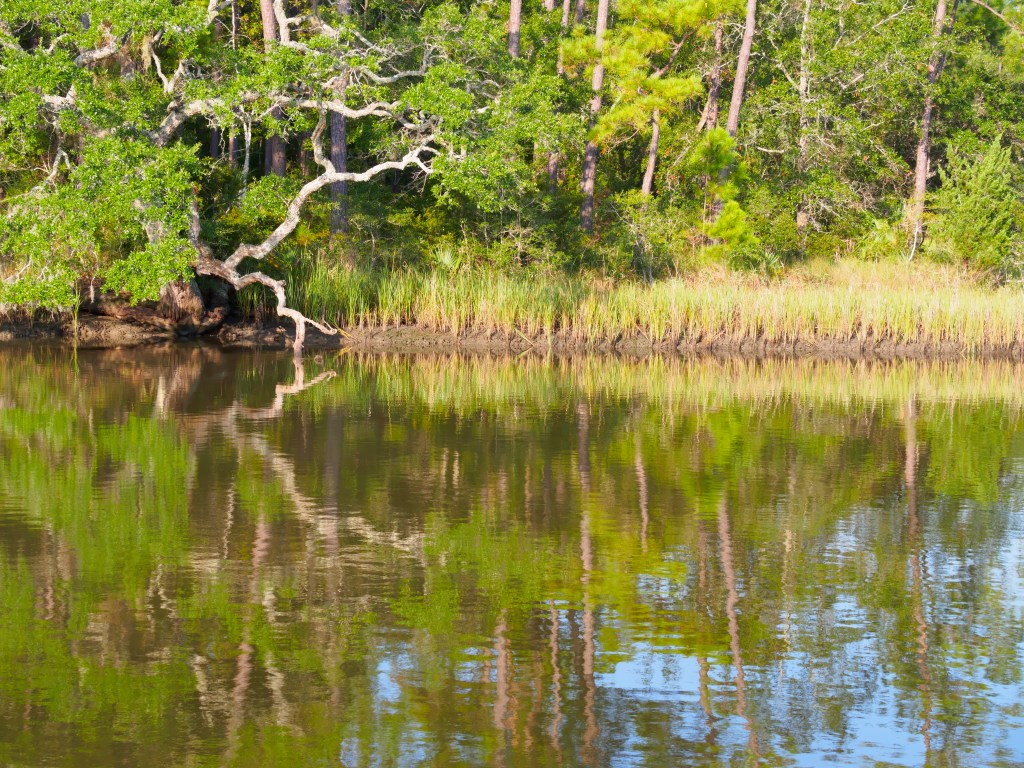
The next and possibly most valuable lesson was two days later. We set off across the Neuse River, and after his miscalculation in Charleston Harbor, Dick was determined to stick with the magenta line. Well, we headed straight up the centre of the very wide river, and conditions got worse and worse. The boat pounded into the waves, stuff fell down inside, and Tucker was terrified. I had to bring him up into the cockpit and hold him on my lap. The dinghy jumped off its support and hung in the davits (fortunately it stayed there), and Dick’s bicycle looked as though it was about to flip over the front rail at any minute. We later discovered that most of our fresh water tank had emptied out of the overflow valves because it was so rough. There was a certain amount of grownup language from me, and Tucker said some very rude words in Cat, but to give credit where it is due, Dick remained calm and handled the rough seas very well, and eventually we were able to make our way into a wonderfully quiet river and anchor for the night. Two lessons were learned. One, be sure of your actual destination, and two, when it starts to get rough, and you can see it will only get worse, turn around while you still can and find a place to wait out the weather.
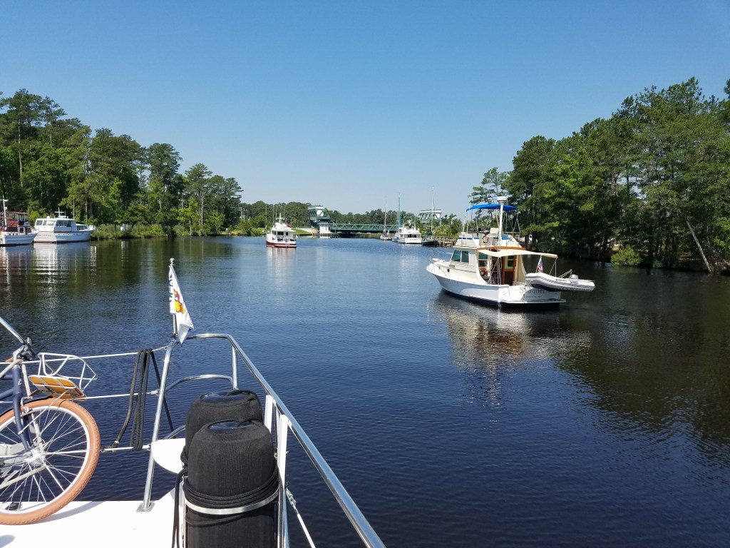
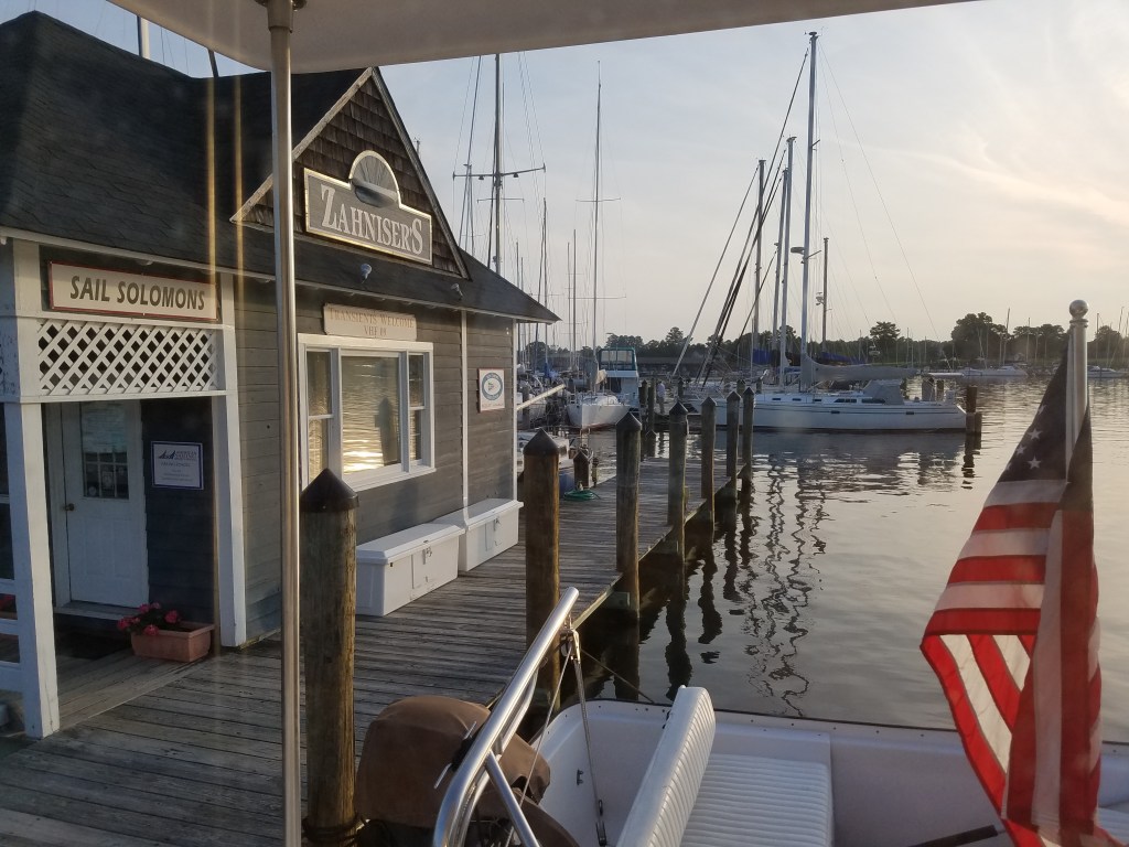
This lesson stood us in very good stead on the Chesapeake. However, before the Chesapeake, we spent a nice evening in a very small marina on Alligator Creek. Just five boats were in, and amazingly, three of us were Endeavour TrawlerCats. The other two were the newer style with the high bridge, a 48 and a 40. There are very few Endeavourcats compared to other manufacturers, so to see three at once was most unusual. A very pleasant evening was spent in the large upper lounge of the 48 chatting with the other owners and comparing experiences. Two days later, we came out of our anchorage to find both of them just behind us, so we led a parade of Endeavours through several bridges and a lock before we all went our separate ways.
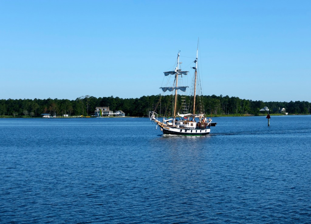


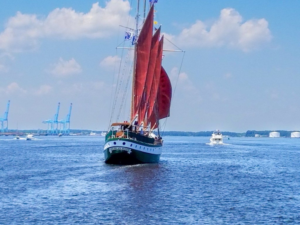
Our trip through Norfolk was fascinating. Seeing all the navy ships was interesting in itself, but the town also has a dock with a number of tall ships. That day there was a special event of skipjack (working fishing boat) races, so the town harbour was full of hundreds of spectator boats of all sizes, some anchored and some cruising around, and it was quite a challenge to make our way through them all.

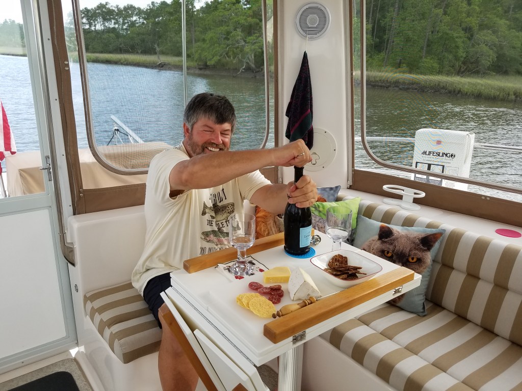
We stayed two nights at Hampton Yacht Club, and were delighted to welcome our friends Marilynn and Winkie on board for drinks and a pasta supper. Our first dinner party on board! I used to work with Marilynn many years ago at Brookhaven Lab.

The day we came out of Hampton we were just ahead of a warship. It was fascinating to listen to the radio communication between that ship, another warship that was already out to sea, and a tanker with a tug that was waiting to enter Hampton Roads. Later that day there was more interesting communication as NASA required all vessels to observe a ten mile exclusion zone where a rocket was scheduled to plunge into the sea. One owner of a pleasure yacht was most annoyed to be told to take a specific heading, not where he planned to go, and stay on that heading for 8 miles!
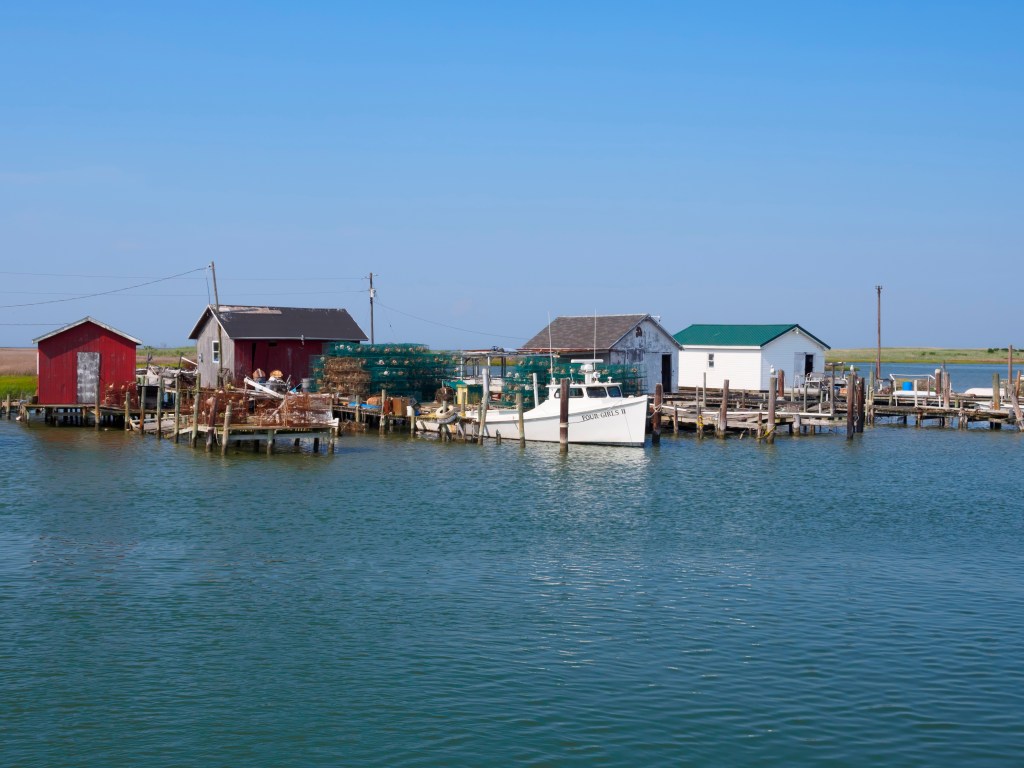
From Hampton we began our journey through the Chesapeake. The first night was at the quaint fishing village of Tangier Island, all crab huts and working fishing boats. Dick made me laugh. He read in the guidebook that due to a strong Methodist influence, the island is dry. He interpreted that to mean that there was a water shortage on the island. (I have no idea why he thought Methodists would create a water shortage!) He was quite surprised when we sat down in the local restaurant and I had to explain that there would be no beer or wine with dinner that evening!


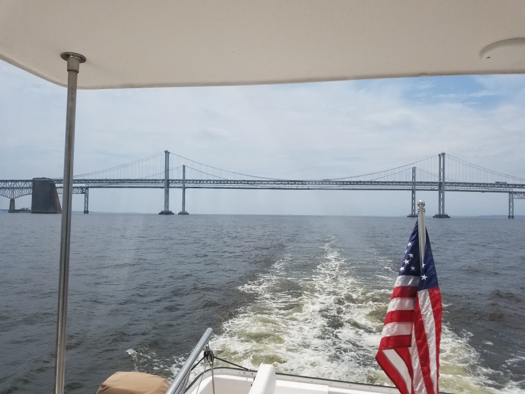
The next day the Chesapeake lived up to its reputation for misery, as a gale blew up not long after we set off. We had to travel well south before we could get close enough to the western shore to gain some protection, and it took a long time to make our way to Solomons Island. There we waited out the weather again, for two nights this time. The third morning was clear and the bay was (relatively) smooth, and we were able to get as far north as Rock Hall. From there we passed under the Chesapeake Bay Bridge and then into the Chesapeake and Delaware Canal.

The C&D Canal is the busiest in the nation. It was built in the 19th century and widened and modernized in the 20th. It saves 300 miles in travel between Philadelphia and Baltimore, and it is used by enormous cargo and tanker traffic. We were very fortunate that in the 12 mile length we met only one tanker, just as we were exiting the canal. They create huge wakes that reflect off the canal sides and make for an uncomfortable ride.
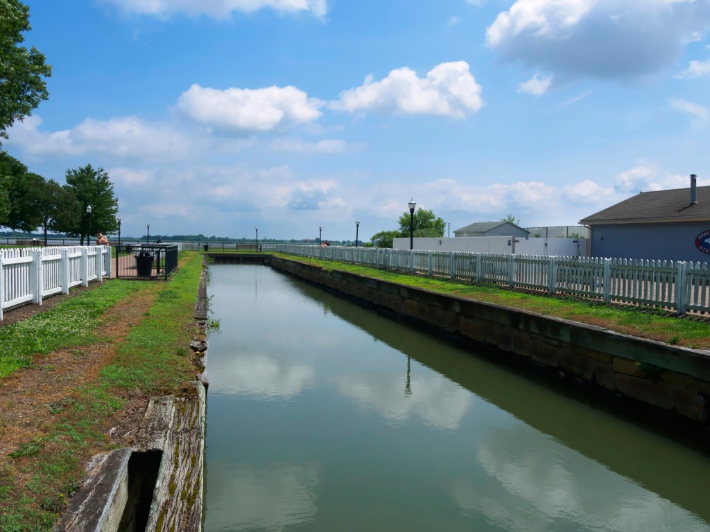
We are now at Delaware City, a picturesque old town that was once an important port between Philadelphia and Baltimore at the mouth of the canal. The marina is on the only remaining piece of the original canal. The old canal was dug by hand by free black people and Irish immigrants who were paid 75 cents a week. It was (is) 100 feet wide and 10 feet deep.

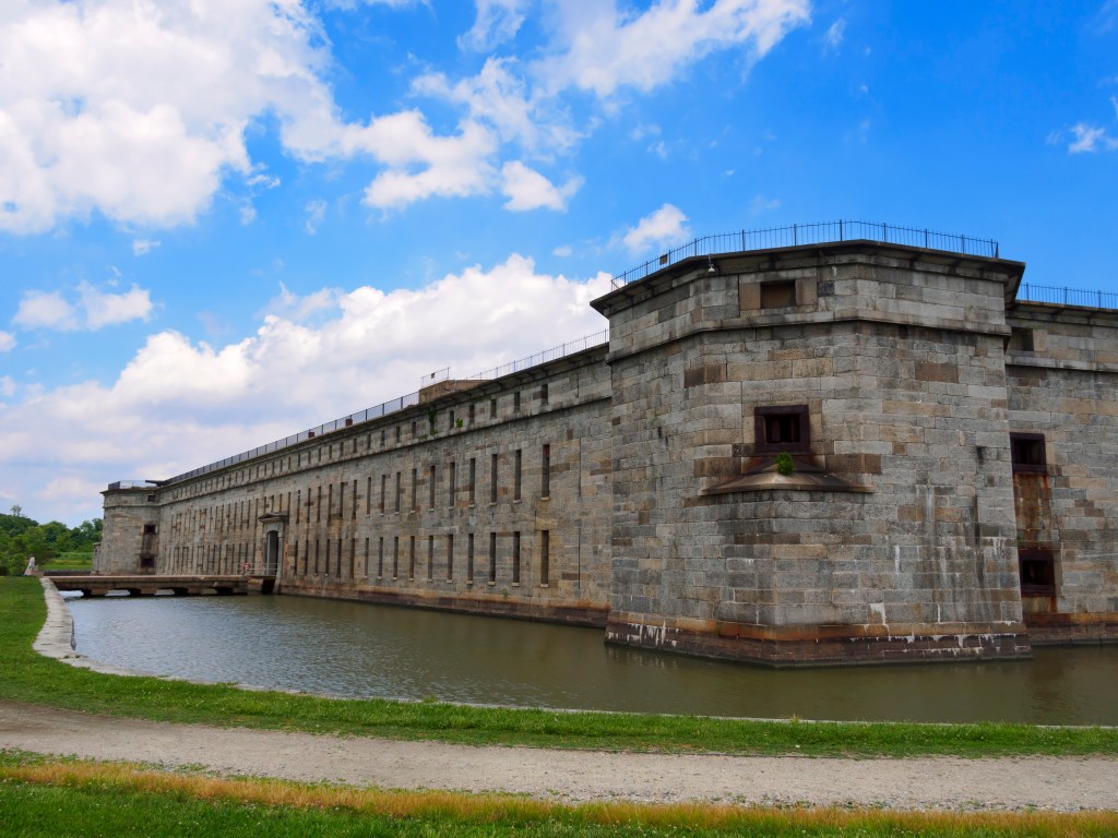
We visited Fort Delaware on Pea Patch Island, an important fort that was used to house hundreds of confederate prisoners during the civil war, and was again used for prisoners of war during world war two. It is gradually being restored, and is staffed by volunteers in period costume who take on the characters of the civil war occupants of the fort.

The marina manager gives an evening briefing for the transit of Delaware Bay. The briefing was very interesting. We learned how to interpret the symbols in the NOAA wind and current databases and how wind, fetch, and current combine to make huge waves. We are delayed again by high winds in opposition to a fast current, and expect to be here at least another night if not two. Interestingly, there are 5 other Looper boats (boats, like us, doing the Great Loop), here in the marina with us, so in spite of our late start compared to most of the pack, we are by no means the last ones heading north. I expect there may be some docktails and trading stories in the next couple of days while we wait for calmer waters in the Delaware Bay.
One of the more interesting boaters awaiting calmer seas is a man in a rowboat. Granted, this is not your father’s rowboat, it is a modern skiff style. He started his trip in Miami and is heading for New York City. He expects the whole trip to take him just 55 days. He says he usually travels 50 miles in a day. I am not sure where he sleeps, but his boat is full of plastic bags with all his stuff. Needless to say, not the sort of adventure that would interest me!